Redlands-based Esri is providing the U.S. government with software that it’s using to track the Zika virus.
The software is being used by the Office of the Assistant Secretary for Preparedness and Response, which is part of the U.S. Department of Health & Human Services, according to a statement released Wednesday.
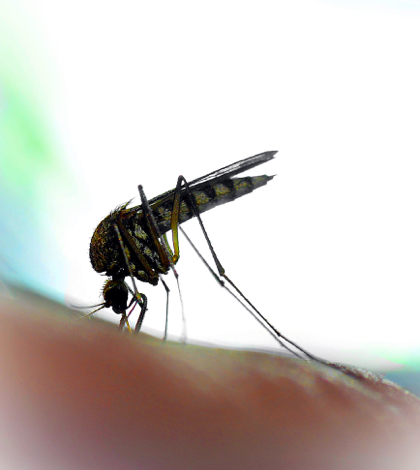
Along with data from the U.S. Census Bureau, Esri’s software is helping federal health officials reach women of child-bearing age and their partners. The Zika virus is having its greatest impact on developing fetuses.
The ASPR has developed in interactive map that shows the number of Zika case in each state. That map is updated every week.
Esri is a leader in GIS technology, which is a computer system that captures, store and displays data related to the earth’s surface. The company’s software is used by more than 350,000 organizations worldwide, including each of the 200 largest U.S. cities and two-thirds of all Fortune 500 companies, according to the statement.